A World Meteorological Organization forecast published on 8 October 2026 points to unusually high global seasonal climate risk late this year, but the source record does not support treating that as a guaranteed outcome for any one place.
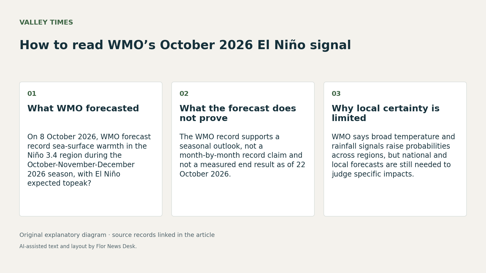
In its 8 October 2026 media release, WMO said sea-surface temperatures in the central and eastern tropical Pacific are forecast to increase to record levels during the October-November-December 2026 season as El Niño strengthens. That is the key correction to make in reading the document. The release supports a seasonal forecast window, not separate proof that October, November and December will each individually set records, and not a measured outcome as of 22 October 2026.
WMO’s update says El Niño is expected to intensify ahead of a forecast peak in December 2026, with a near-100 per cent likelihood of persisting through February 2027. It ties that outlook to the Niño 3.4 index, a standard measure for the central-eastern equatorial Pacific. According to the same release, that anomaly rose from an average of +1.6 C in June 2026 to +2.5 C in August 2026, and the seasonal average for October-November-December 2026 is forecast to reach about +3.7 C relative to the 1993-2009 baseline. WMO says that would exceed the previous record seasonal value of +2.6 C in November 2015 to January 2016. Source
The most useful caution in the WMO record appears in the same 8 October document. WMO says there is an overwhelming likelihood of above-average temperatures across large areas in October-December and large, coherent rainfall shifts consistent with a strong El Niño. But it also says this does not mean every location will be warmer than average every day, and that those seasonal signals are not a substitute for national and local forecasts. That distinction matters more than any headline phrase about a strong El Niño, because it separates a broad probability map from a place-specific forecast. Source
A second WMO record, Secretary-General Celeste Saulo’s opening remarks to SERCOM-4 on 19 October 2026, does not add a new technical El Niño measurement. It does show how WMO is framing the forecast operationally. Saulo said a strengthening El Niño was coinciding with record-breaking heat, floods, droughts, tropical cyclones, wildfires, haze and marine heatwaves, and said ocean heat content reached a new record high in 2025. In the same speech, she described services as the bridge between prediction systems and real-world decisions, and argued that trusted warnings depend on verification, standards and accountability. Source
An earlier WMO statement dated 3 September 2026 shows the October message was part of a tightening sequence rather than a one-day alarm. That statement said there was an exceptionally high likelihood that El Niño would persist through February 2027 and that it would peak toward the end of 2026. Those were forward-looking expectations at the time, and the records retrieved here do not independently confirm the eventual outcome. Source
The strongest supported takeaway on 22 October 2026 is narrower than the most dramatic wording around it: WMO is warning of elevated global seasonal risk for late 2026, anchored in a forecast for record warmth in the Niño 3.4 region during the October-November-December season. The same WMO documents also set the limit. They do not establish what any single country, city or watershed will actually experience, and this draft relies on WMO records only, without additional confirmation from national meteorological services or observed end-of-season data.
*AI-assisted draft prepared from retrieved source records for owner review. No documentary image supplied.*